The short answer: The best Bora Bora pictures come from five places: Matira Point at sunset, the coast road around Povai Bay, the WWII cannon sites on the ridges, the lagoon from a boat, and the air. Plan around the light: Mount Otemanu glows in the evening from the west side of the island and in the morning from the eastern motu. If you bring a drone, French Polynesia's civil aviation rules are strict.
- Sunset: the sun sets in the west, from about 5:40 pm in June to about 6:45 pm in January.
- Aerial view: sit on the left side of the plane from Papeete, or book a helicopter or parasail flight.
- Drones: no flying over built-up areas or crowds, 120 m maximum, and airport approval near Motu Mute.
Where to take the best Bora Bora pictures
The main island covers only about 30 km², so you can reach most viewpoints in a day. The catch: much of the shoreline is private, trailheads are poorly signed, and the postcard angles are on the water or in the air. This table sums up the spots we'd prioritize.
| Spot | Best for | Best light | Access |
|---|---|---|---|
| Matira Point and Matira Beach | Sunset, shallow water, palms | Late afternoon to sunset | Public beach on the south tip |
| Povai Bay, coast road | Otemanu and Pahia over the water | Afternoon | Roadside, by car, bike or scooter |
| Anau and Fitiiu Point | Otemanu from the east | Morning | East coast road; Fitiiu trail crosses private land |
| Faanui and Farepiti cannons | Lagoon, motu, Teavanui Pass | Morning or late afternoon | Short hikes or a 4x4 tour |
| Lagoon by boat | Water color, motu, reef life | Midday sun for color | Lagoon tour, catamaran, canoe |
| Helicopter, parasail, plane | Aerial view of reef and lagoon | Midday, clear days | Booked flights; free with your Air Tahiti seat |
Matira Beach and Matira Point: the classic sunset Bora Bora shot
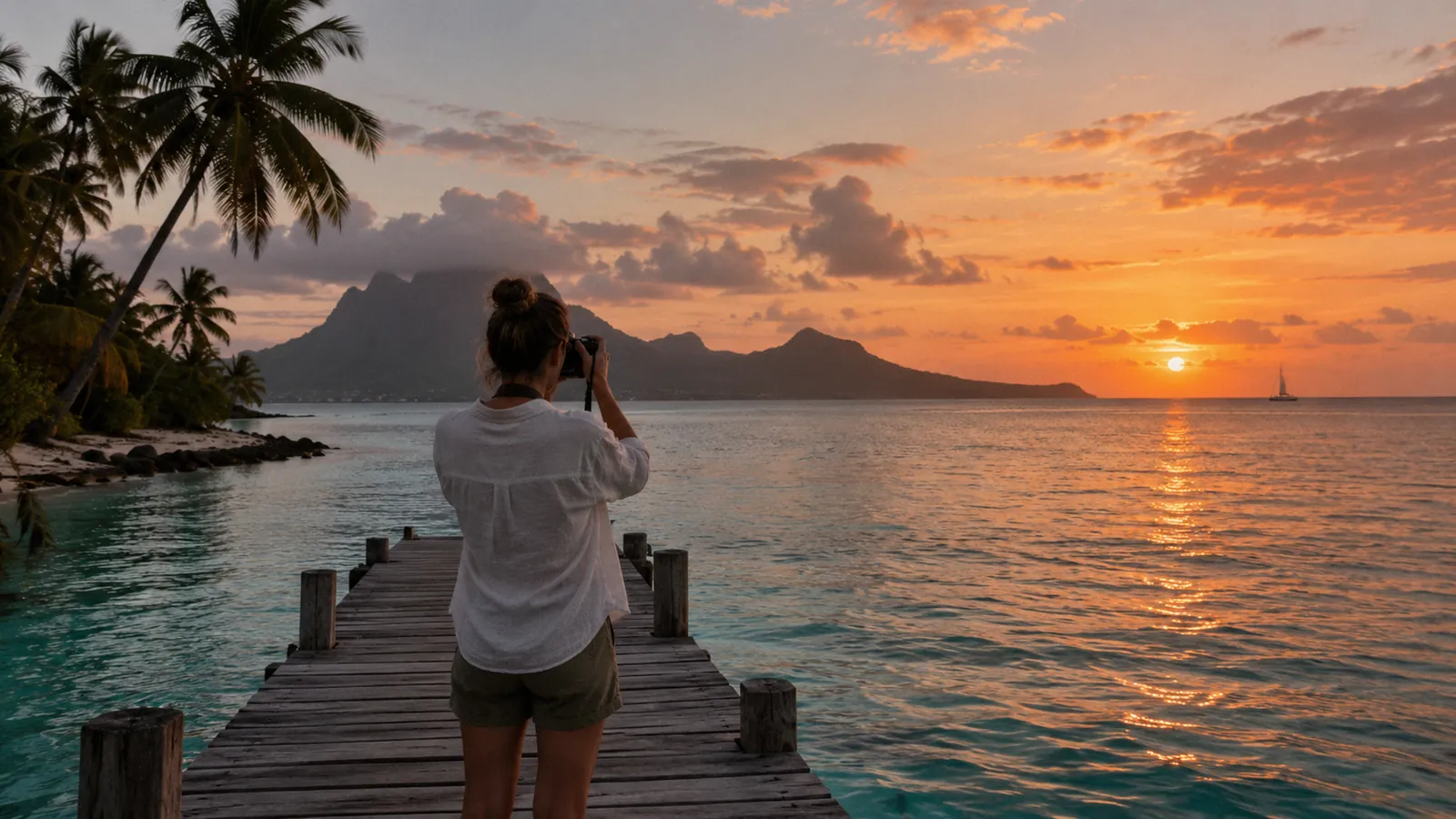
Matira Beach, on the southern tip of the main island, is Bora Bora's one public beach and its favorite place to watch the sun go down. The lagoon stays shallow a long way out, so you can wade in and shoot back toward the palms, or face west across the water as the sky changes.
Arrive 30 to 60 minutes early to claim a spot, and stay 20 minutes after the sun drops: the color in the clouds often peaks after sunset. Bring a cloth for lens fog when you step from air conditioning into the humid air.
Pictures of Bora Bora from the coast road
The coast road loops about 32 km around the main island, and Frommer's calls the views over Povai Bay, south of Vaitape, the best on Bora Bora: Mount Otemanu (727 m) and Mount Pahia (661 m) rise straight above the water. Povai Bay faces the peaks from the southwest, so the afternoon sun lights them from the front.
Keep going counterclockwise past Matira to the east coast. Fodor's notes a great view of Otemanu from Anau village, best in the morning when the sun is behind you. On the north side, Faanui Bay has a pastel church and the remains of the 1942 US naval base.
The road is narrow and busy with scooters and bikes, so pull fully off before you stop.
WWII cannon viewpoints
In 1942, under Operation Bobcat, about 4,000 American servicemen landed on Bora Bora to build a supply base, which closed in June 1946. They left coastal guns on the hills, and today several sites double as some of the island's best lookouts. Tahiti Tourisme's history page describes an easy walk of about 2 km from Faanui village to a viewpoint, with the trail continuing along the ridge to two cannons.
- Faanui cannons: a short uphill track of under 300 m, about 10 minutes' walk, with views over the lagoon and nearby motu.
- Farepiti cannons: above Point Pahua on the west coast, about 20 minutes each way. One gun faces Vaitape and Teavanui Pass, the lagoon's only opening to the ocean.
- Fitiiu Point cannons: near Anau, restored in 2021 with signs in Tahitian, French and English. One gun faces Otemanu, the other the Four Seasons. Lonely Planet notes the trail starts on private land, so ask permission if the owners are there.
Trailheads are hard to find, so the easiest way to see several sites is a 4x4 mountain safari. For a summit view, the guided Mount Pahia hike takes 6 to 8 hours round trip with ropes on the steep parts; see our land activities guide.
Bora Bora photos from the lagoon
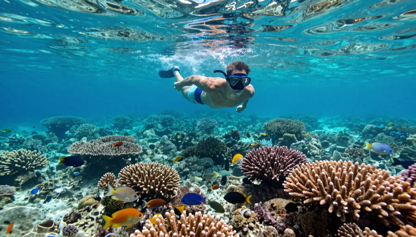
From a boat you can frame the motu, the reef edge and Otemanu in one shot. A half-day lagoon tour (from about $120 per person) gets you to coral gardens and sandbars. A sunset catamaran cruise (from about $200) puts you on the water at golden hour.
- Shoot color at midday. The lagoon's blues are strongest when the sun is high. A polarizing filter cuts glare so the sand and coral show through.
- Keep your distance from wildlife. Don't touch or chase rays and reef sharks, never feed them (it's illegal in French Polynesia), and don't stand on coral for a better angle.
Bora Bora sunset: direction, timing and the best angles
At 16.5° south, the sunset point moves through the year. Around the June solstice the sun sets in the west-northwest, at roughly 293° on the compass. Around the December solstice it sets in the west-southwest. Sunset on the 21st runs from about 5:43 pm in June to 6:39 pm in December and 6:47 pm in January.
Two angles work best:
- From the west side, facing east: at Le Bora Bora by Pearl Resorts on Motu Tevairoa and other west-side spots, the evening sun is behind you and lights Otemanu across the lagoon.
- From the east motu, facing west: at the Four Seasons on Motu Tehotu, the sun drops behind Otemanu, so you get a silhouette at sunset and warm front light on the mountain at sunrise.
In the wet season, broken cloud often makes the best skies. Our November and December guide covers what the weather is like then.
Bora Bora aerial view: plane, helicopter and parasail
The cheapest aerial view comes with your flight. On the Papeete to Bora Bora flight, sit on the left side for the approach over the lagoon and Otemanu; flying back to Tahiti, pick the right side. Air Tahiti has typically used open seating, so board early. Wind sometimes changes the landing direction, so there is no guarantee.
For more control, Tahiti Nui Helicopters runs 20-minute scenic flights over Motu Toopua and the southern, eastern and northern lagoon. Manawa listed them from €352 in October 2026, with a four-passenger minimum and a 120 kg weight limit per passenger. Book through your resort or see our helicopter scenic flight listing. Wear dark clothing and keep the lens close to the window to cut reflections.
Parasailing is the budget aerial option, from about $280 per flight, at 50 to 150 m depending on the package.
Drone rules in Bora Bora
Drone flights in French Polynesia are regulated by the State civil aviation service (SEAC). Its remotely piloted aircraft page and August 2026 drone summary set out the rules for leisure pilots:
- Register and train first: register as a drone operator on the AlphaTango portal and complete the free online A1/A3 open-category training.
- 120 m maximum height, lower near aerodromes, and keep the drone in sight.
- No flying over gatherings of people, in public space in a built-up area (including beaches there), or within 50 m of any built-up area. Check the Te Fenua online map, zoomed in, to see what counts as built up.
- Near the airport: Bora Bora is one of the aerodromes where SEAC says to get prior approval through the Clearance app when needed, at least 8 days ahead.
- No night flights without a special exemption requested 30 days ahead.
- Private property: if you fly over it, you must coordinate with the owner. Resorts can also set their own rules, so ask before you launch.
Breaking the rules can mean a fine and confiscation of the drone. If in doubt, don't fly.
Photo etiquette, and a word on Bora Bora images online
Most motu belong to resorts or private owners, and hotel beaches are for guests, so don't land a kayak or drone on one uninvited. Many coastal homes sit right on the water; shoot the view, not into people's yards.
Marae, the stone temple platforms around the island, are sacred. French Polynesia's culture service asks visitors to stay on marked paths, never climb the stones (even for a photo), keep quiet, and take their rubbish with them. Ask before photographing people, especially children.
A last word on Bora Bora images online: not every postcard shot is what you'll get. There is no pink sand on Bora Bora, Otemanu views and glass floor panels are not universal, and pink-sand shots come from the Tuamotu atolls or the Bahamas. Our glass floor bungalows guide explains which rooms really have them.
Frequently asked questions
Where is the best place to watch the sunset in Bora Bora?
Matira Point and Matira Beach, on the south tip of the main island, are the favorite public spot. A sunset catamaran cruise puts you on the water, and west-side resorts light up Mount Otemanu in the evening.
What time is sunset in Bora Bora?
Between about 5:40 pm and 6:50 pm, depending on the month. Sunsets are earliest in May and June and latest in January. Bora Bora is on UTC minus 10 all year, with no daylight saving time.
Can you fly a drone in Bora Bora?
Yes, with restrictions. Register on AlphaTango, complete the free online training, stay under 120 m, avoid built-up areas and crowds, get approval near the airport via the Clearance app, and coordinate with owners before flying over private property.
How can I get an aerial view of Bora Bora?
Sit on the left side of the plane from Papeete, take a scenic helicopter flight (about 20 minutes), or go parasailing over the lagoon. A guided Mount Pahia hike gives a high view from the ground.
Can you visit the WWII cannons in Bora Bora?
Yes. Short trails lead to cannon sites above Faanui, Farepiti and Fitiiu Point, but trailheads are poorly signed and the Fitiiu trail crosses private land. A 4x4 tour is the easiest way to see them.
Are you allowed to take photos at the marae?
Yes, respectfully. Stay on marked paths, don't climb on the stones or structures for a shot, keep quiet, and leave nothing behind. Marae are sacred sites.
Sources
- SEAC Polynésie française: remotely piloted aircraft (drone rules)
- SEAC Polynésie française: drone awareness summary (August 2026)
- Direction de la culture et du patrimoine: "Le marae, un lieu sacré à respecter"
- Tahiti Tourisme: Bora Bora's historical history (WWII sites, Faanui hike)
- Outremers360 (August 2023): the American cannons of Anau
- Lonely Planet: best hikes in Bora Bora (January 2025)
- Frommer's: exploring Bora Bora (coast road, Povai Bay)
- Fodor's: Bora Bora sights (Anau, Faanui)
- Manawa: scenic helicopter flight over Bora Bora (Tahiti Nui Helicopters)
- Prince of Travel: Air Tahiti Papeete to Bora Bora (open seating, left side)
- Gaisma: Vaitape sunrise and sunset times; timeanddate: Vaitape sun direction